| ファイル情報(添付) | |
| タイトル |
松江試験林の地形図作成
|
| タイトル |
Topographical-Map of Matsue Experimental Forest attached to Faculty of Agricultire (Shimane University) Used KOKUSAI-PLOTTER
|
| タイトル 読み |
マツエ シケンリン ノ チケイズ サクセイ
|
| 著者 |
安井 鈞
藤江 勲
|
| 収録物名 |
島根大学農学部研究報告
Bulletin of the Faculty of Agriculture, Shimane University
|
| 巻 | 2 |
| 開始ページ | 105 |
| 終了ページ | 107 |
| 収録物識別子 |
ISSN 0370940X
|
| 内容記述 |
抄録・要旨
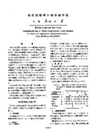
We carried out aerial photgrammetry for Matsue-Experimental Forest by wide angle vertical photography.
First of all, for decide on final results of the contfoll points from list of known points(Trianglation station and bench mark) conducted the field works, and the results was shown Table 2. The mapping used the diapositives(1 : 20,000) and KOKUSAI PLOTTER of KP style mapping-machine. After put the relative orientation by GRUBER's method and the absolute orientation, the contour tracing were practiced at scale of 1 : 2500 (interval of conter line is 5 m) as next Figure. |
| 言語 |
日本語
|
| 資源タイプ | 紀要論文 |
| 出版者 |
島根大学農学部
Shimane University, Faculty of Agriculture
|
| 発行日 | 1968-12-15 |
| アクセス権 | オープンアクセス |
| 関連情報 |
[NCID]
AN00108015
|