島根大学農学部
ISSN:0370-940X
ダウンロード数 : ? 件
この文献の参照には次のURLをご利用ください : https://ir.lib.shimane-u.ac.jp/1608
島根大学農学部研究報告 11
1977-12-15 発行
斐伊川流域における豪雨のDAD解析について(続報)
Some Considerations on the Depth-Area-Duration Analysis of Storm Precipitation over the Hi River Basin (Second Report)
田中 礼次郎
ファイル
内容記述(抄録等)
For many design purposes, it is necessary to determine the maximum depths of precipitation(P) within a given sorm for various areas(A) and durations(tT).
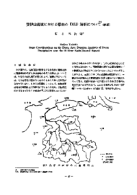
Over the Hi River basin(914 sb. km), in this paper, the maximum depths of precipi tation were analyzed by using storm records from 11 stations as shown in Fig. 1.
The relations between P and A were well described by following formulas ;
P/(P_0) = e^<-αA^β>, P/(P_0) = a/((A+b)). P/(P_0) = a/A^n, and P/(P_0) = a/((√<A+b>)).And the most accurate method for computing P was the use of P/(P_0) = e^<-αA^β>. However, the parame ters of α, β, a, b, and n in fomulas varied with storms and their durations.
P = a/((T^b+A^c+d)) was proposed as the formula containing a term, T, but the accuracy was not satisfactory.
About This Article
Other Article
