島根大学農学部
ISSN:0370-940X
ダウンロード数 : ? 件
この文献の参照には次のURLをご利用ください : https://ir.lib.shimane-u.ac.jp/1602
島根大学農学部研究報告 10
1976-12-15 発行
斐伊川流域における豪雨のDAD解析について
Some Considerations on the Depth-Area-Duration Analysis of Storm Precipitation over the Hi River Basin
田中 礼次郎
ファイル
内容記述(抄録等)
For most river training projects, it is often necessary to determine, not only the average depth of precipitation over a river basin, but the maximum depths of precipitation within a given storm for various areas and durations as well. Over the Hi River basin (914 sq. km), in this paper, the average precipitations were computed by using the methods of Thiessen, the isohyetal and Akin, and the maximum depth-areaduration curves of storm precipitation were obtained by using Horton formula and other procedures.
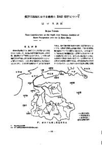
The storm records from 11 stations as shown in Fig. 1 were processed to analyze the characteristics of precipitation. The results which were derived in the ways described above are as follows ;
1. The annual precipitation over the Hi River basin increases as we go upward, but the amounts of storm precipitation depend on the locality rather than the elevation.
2. The methods of Thiessen, the isoheyetal and Akin give approximately similar average precipitation.
3. The most accurate method for computing depth-area curves is the use of the Horton formula and the isohyetal method.
About This Article
Other Article
