島根大学農学部
ISSN:0370-940X
ダウンロード数 : ? 件
この文献の参照には次のURLをご利用ください : https://ir.lib.shimane-u.ac.jp/3824
島根大学農学部研究報告 2
1968-12-15 発行
松江試験林の地形図作成
Topographical-Map of Matsue Experimental Forest attached to Faculty of Agricultire (Shimane University) Used KOKUSAI-PLOTTER
安井 鈞
藤江 勲
ファイル
内容記述(抄録等)
We carried out aerial photgrammetry for Matsue-Experimental Forest by wide angle vertical photography.
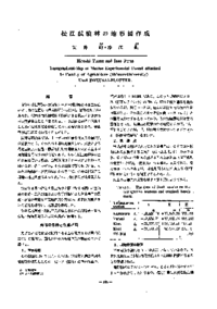
First of all, for decide on final results of the contfoll points from list of known points(Trianglation station and bench mark) conducted the field works, and the results was shown Table 2.
The mapping used the diapositives(1 : 20,000) and KOKUSAI PLOTTER of KP style mapping-machine. After put the relative orientation by GRUBER's method and the absolute orientation, the contour tracing were practiced at scale of 1 : 2500 (interval of conter line is 5 m) as next Figure.
About This Article
NCID
AN00108015
Other Article